Itinerary
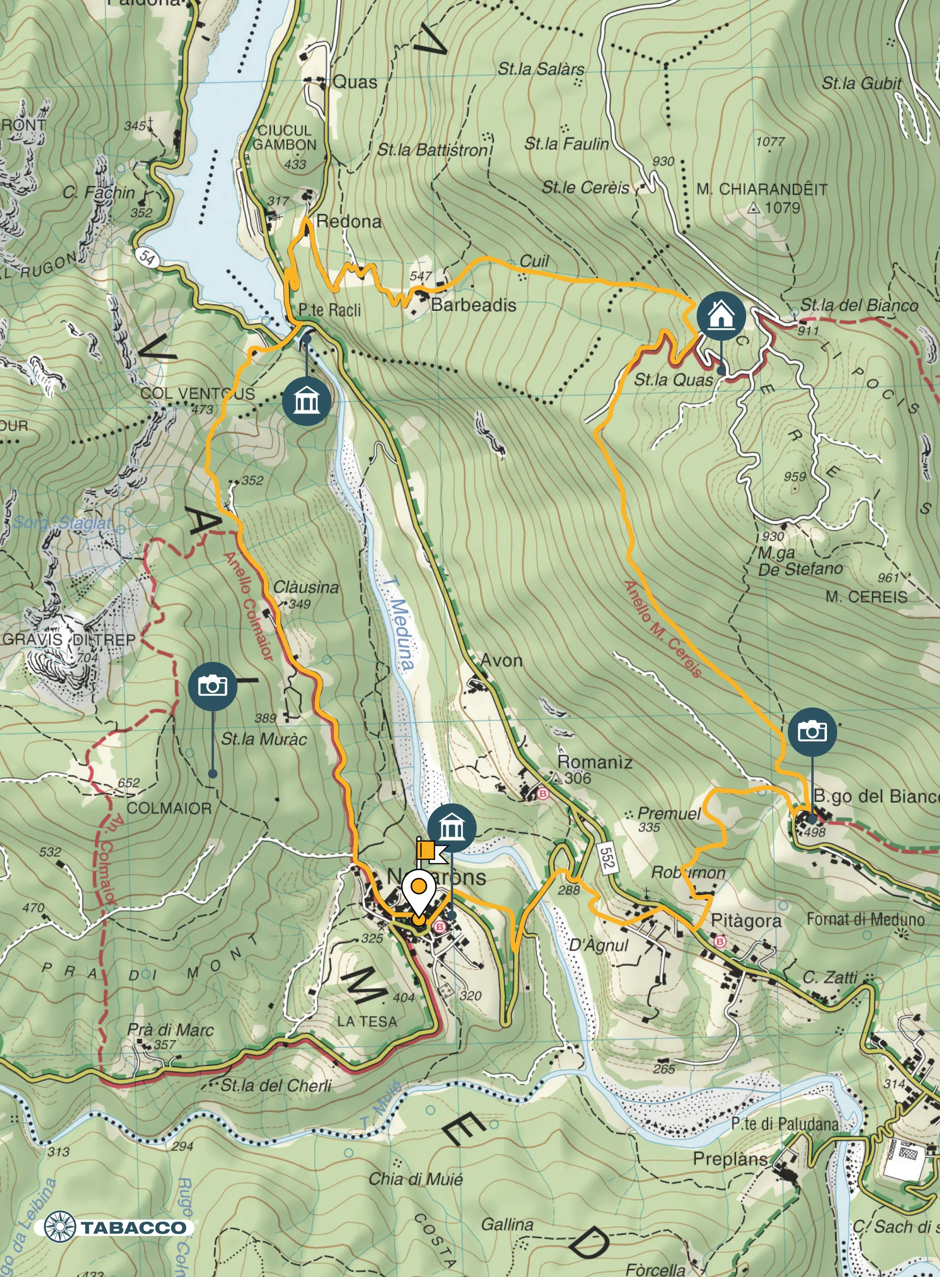
Starting from the square of Navarons (325 m asl) take the central road of the village heading north. When you reach the end of the village continue along the only tarmacked road. The latter runs up the right bank of the Meduna stream on the slopes of Col Maour; on the other side of the stream one can see the hamlets of Avon and Romaniz lying on the slopes of Mount Cereis. Once past the locality Clàusina cross an iron bridge beyond which the road becomes a dirt road. Continuing in this direction, you leave the mouth of the Troi da li Fous on the left and immediately afterwards at a crucifix on the left, begins the path that climbs to Col Ventous – the last eastern edge of Mount Raut –, after which you descend to Lake Redona. Follow the road SR552 for a few metres and take the cemented road that promptly ascends on the right into the hamlet Valentins. With an unusual view of the lake, climb up the steep mule track to the medieval hamlet of Barbeadis (547 m asl). Take the steep path to Mount Cereis. Skirting the cliff, you come to a spring of water at which you turn right towards the Cereis forest track. Follow the downhill track past Stávolo Quas (835 m asl) to the end of the road where you take the Troi dal Crist path on the left. Follow the path until you reach the hamlet Borgo Del Bianco. Descend from the hamlet along the municipal road and after 100 m turn right onto a dirt road that becomes a path: the Troi dai Bosgnacs. This path allows you to quickly descend to Borgo Roburnon, where, near the monument commemorating the First World War Battle, you cross the road and descend towards the locality D’Agnul, leaving the hamlet Borgo Pitagora behind you. Then continue along the road (restricted traffic), cross the bridge over the Meduna stream and after 100 m turn right onto the old disused road called “dala creta vecja”, which leads you back to the starting point.
Technical details
Distance: 8,7 km
Drop: 750 m
Stops
Col Ventous /
Lake of Redona /
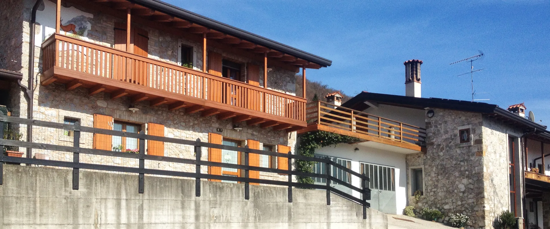
Barbeadis /
Borgo Del Bianco /
Roburnon /
Accessibility
Hiking

Map