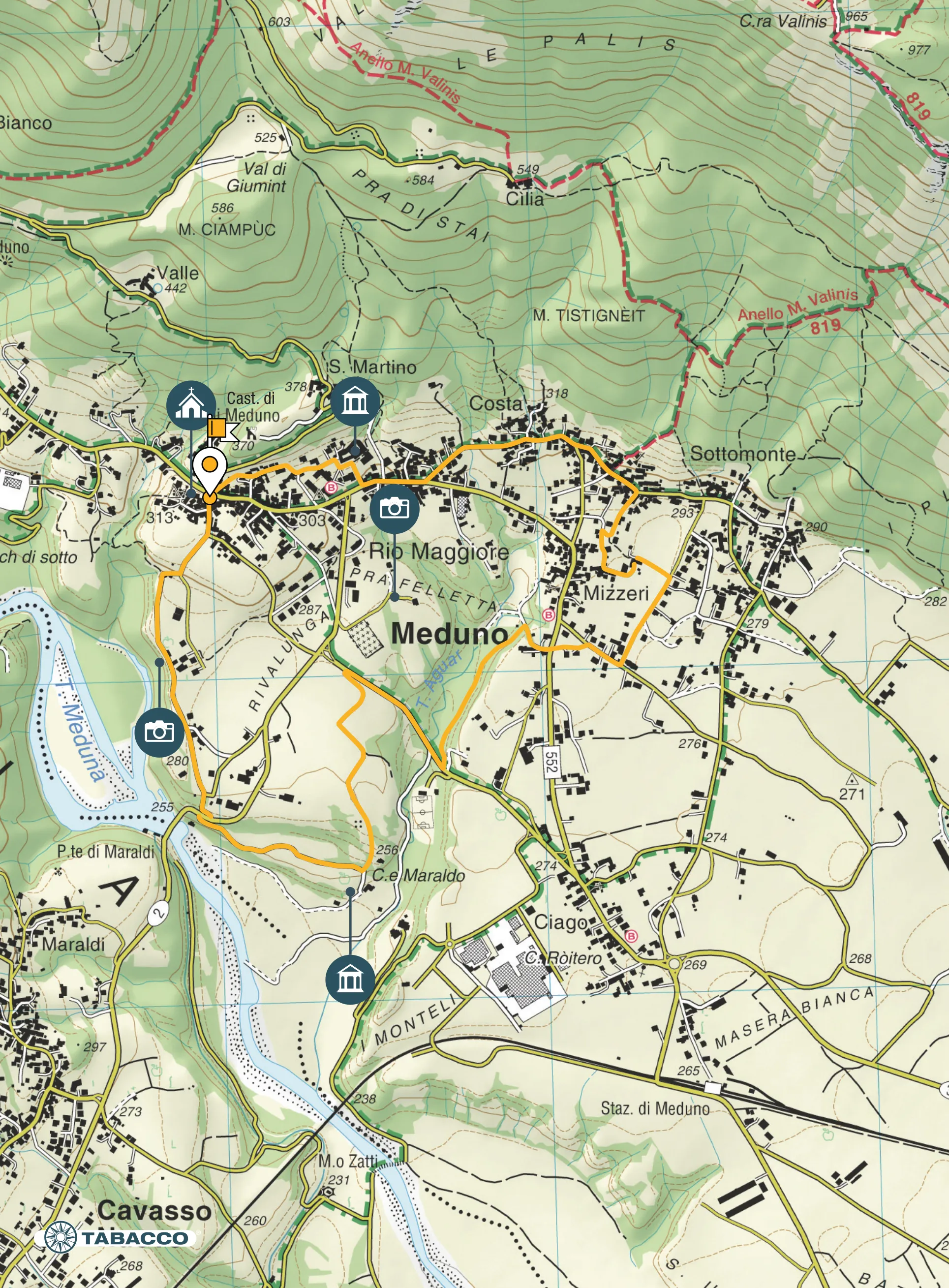
Itinerary
Starting from the church square (313 m asl), follow Via Magnani. Leaving Palazzo Policreti (18th Century) on the right, after 200 m turn right onto Via Taviela and after a further 200 m turn right again at the fork and follow the dirt road (Via Palis) that leads to the Maraldi bridge, skirting the Meduna stream from above. At the STOP sign cross the road and continue on the dirt road that leads to the Ponte Maraldi country farmhouse (250 m asl). Near the last bend before reaching the farmhouse, take the uphill path on the left which, after a short slope, leads to a tarmac field road. After following the entire road, at the STOP sign near the cemetery, descend to the right onto Via Aguar, leaving the Mesolithic site of Pra Feletta on the left. Cross the bridge over the Aguar stream to reach the fork; to the right it leads to the sports field, follow the dirt road to the left instead that descends and runs alongside the stream. When you reach a wide meadow at the bottom of the valley carved out by the stream, at the water purification plant go up the tarmac road to the right and at the STOP sign cross road SR552. Continue straight on towards Via della Suarch. Take Via VI Maggio on the left and continue for about 400 m until you find a dirt road on the left that later becomes a path, Troi dal Gjat, and leads to Piazza di Sottomonte near the Dairy (290 m asl). Go up towards Borgo Costa and Borgo Rio Maggiore. When you reach the road SR552 again, continue as far as the Dairy of Meduno and then turn right along the pedestrian road towards Palazzo Colossis.
From here, return to the starting point (Via del Municipio and Via Castello) along the footpaths.
Technical details
Distance: 6,3 km
Drop: 115 m
Stops
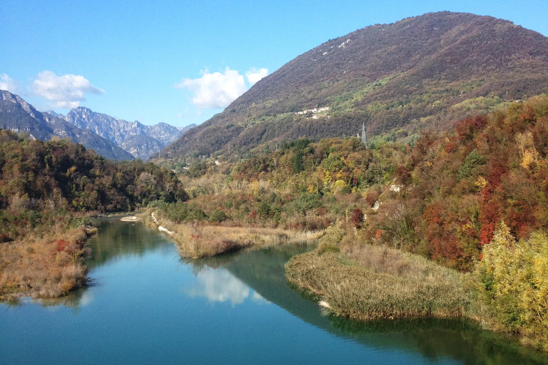
Rive del Meduna /
Ponte Maraldi /
Pra Feletta /
Torrente Aguar /
Sottomonte /
Costa /
Accessibility
Families, hiking, running, Nordic walking

Map