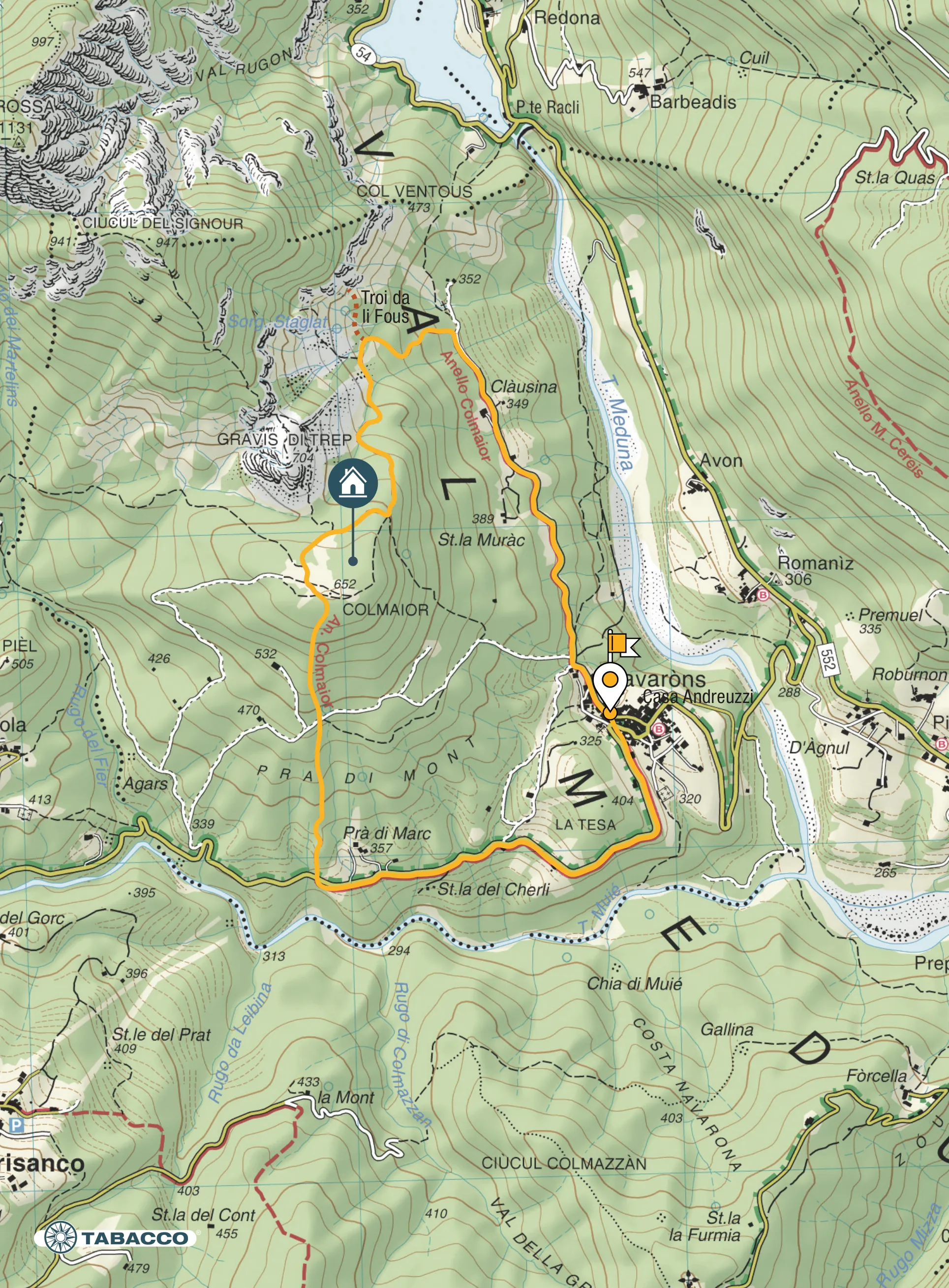
Itinerary
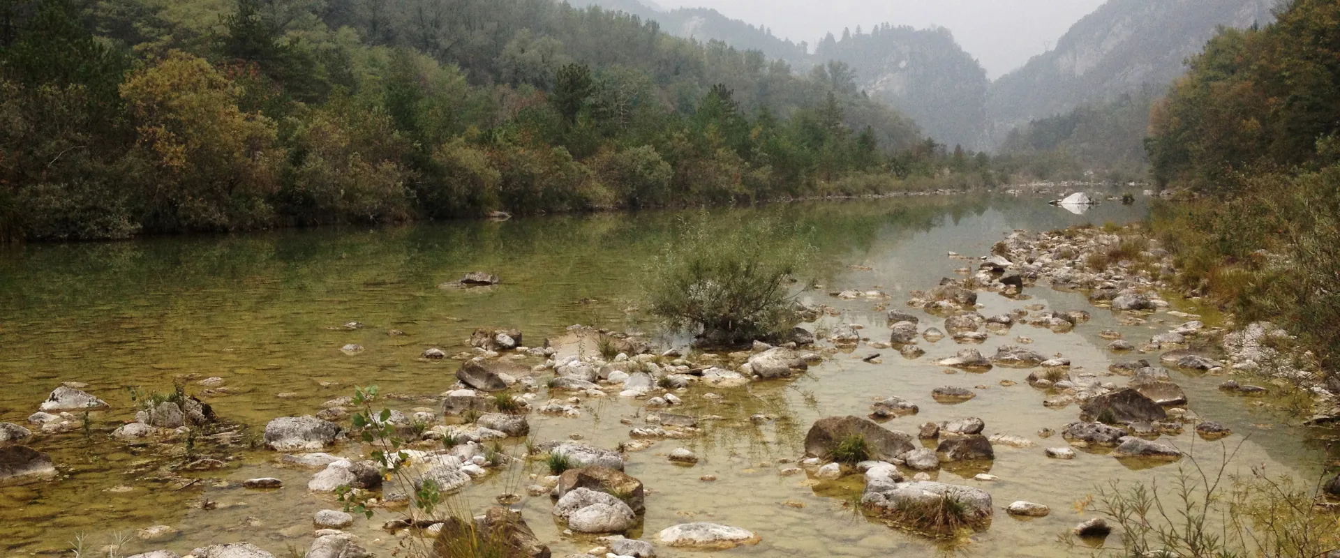
From the square of Navarons (325 m asl), cross the centre of the village and head northwards on the road leading to the locality Clàusina. You arrive at a square at the end of the tarmacked road. Immediately after an iron bridge, at the first fork, take the path to the left that climbs into the woods. After the aqueduct intake (Staglàt spring) there is a sandy gully where there is a fork. To the left is the Col Maour and to the right is the Troi da li Fous (Gorge). Then continue to the left up the slopes of the Gravis di Trep, always following the signs of the “Colmaior circular trail” with gradually decreasing slopes, until you reach the broad summit at 652 m asl, overlooking the slopes of the Rodolino. On the summit clearing is the Col Maior camp and Col Maggiore shelter, both are private, and the viewpoint over Navarons and Meduno. From the summit, take the path that descends straight down the southern slope and leads to the provincial road in locality Pra di Marc. Return to Navarons by following the tarmac road that, from above, skirts the valley crossed by the Muiè stream.
Technical details
Distance: 6 km
Drop: 400 m
Stops
Troi da li Fous /
Clàusina /
Prà di Marc /
Accessibility
Families, hiking, running
Map