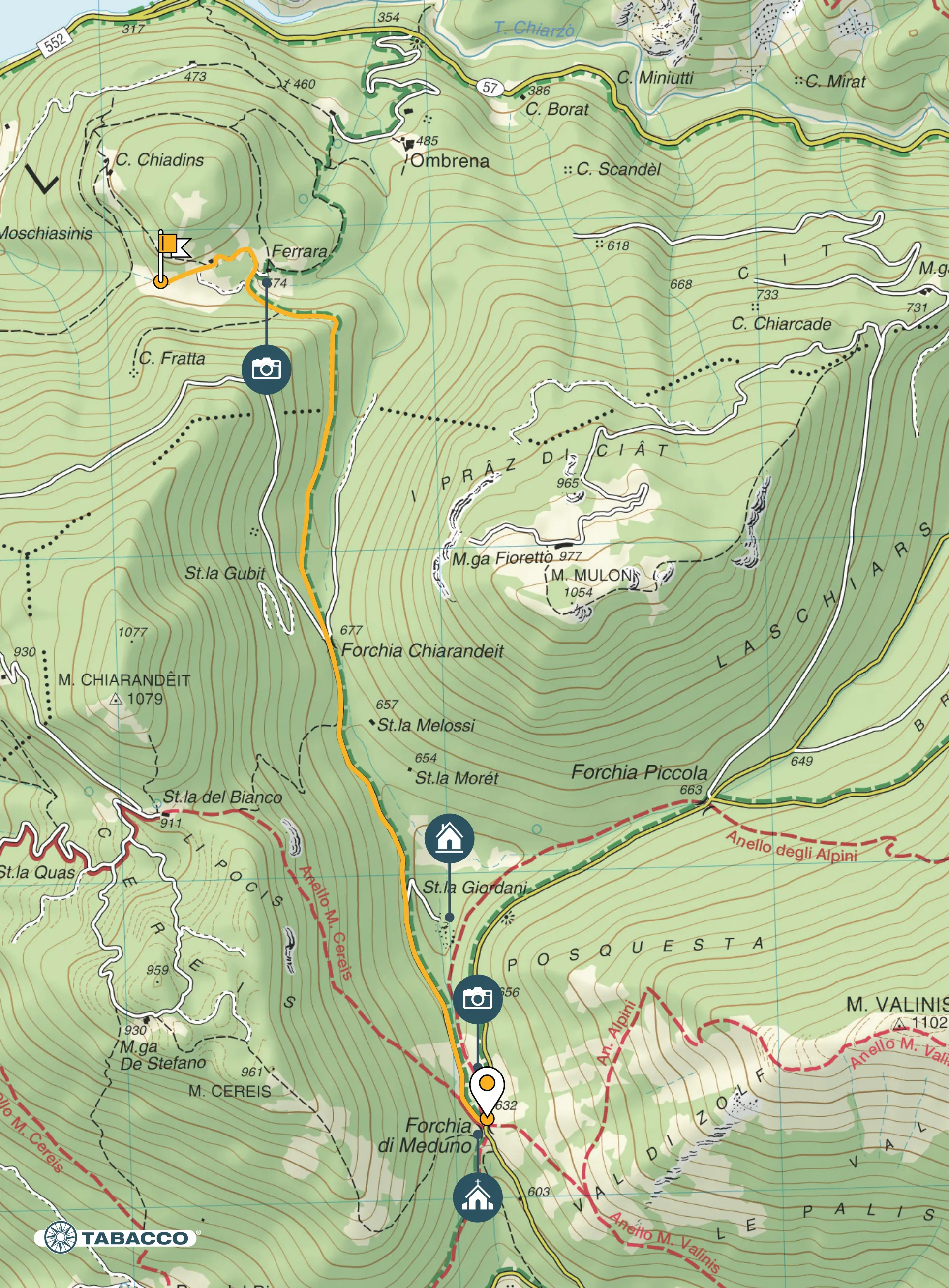
Itinerary
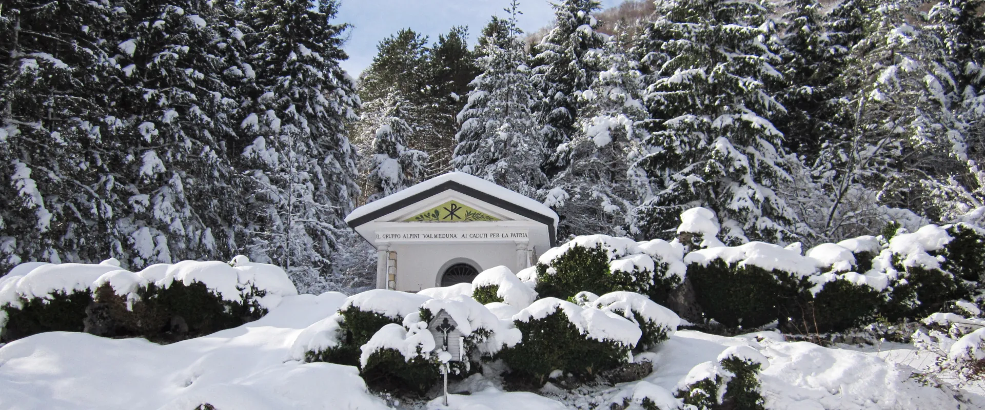
Arriving by car from Meduno the Vallone di Forchia begins at the little church of the Alpini (mountain soldiers), where the mountain shelter Rifugio Brigata Alpina Julia is located, and initially runs northwards to the Casera Giordani, embedded between Mount Valinis and Mount Cereis. At the Casera it splits into two: to the left, continuing northwards, it climbs the Forchia Chiarandêit between the mountain of the same name and Mount Mulon and then descends towards Ombrena. To the right, it ascends the Forchia Piccola between Mount Valinis and Mount Mulon and then descends towards Campone.
From Forchia di Meduno (634 m asl) take the forest track to the left on the slopes of Mount Cereis, leaving the Rifugio on the right. Continue to Forchia Chiarandêit (677 m asl) and at the fork take the forest track to the right that leads to Ombrena. The term Ombrena (meaning shade in Friulano) does not refer to a particular hamlet but to a group of several settlements located on the northern slopes of Mount Chiarandêit and Mount Mulon, which is why they are not always sun-blessed.
Technical details
Distance there and back: 7 km
Drop: 280 m
Stops
Forcella Chiarandêit /
Ombrena /
Accessibility
Families, hiking, running, Nordic walking, mountain bike

Map