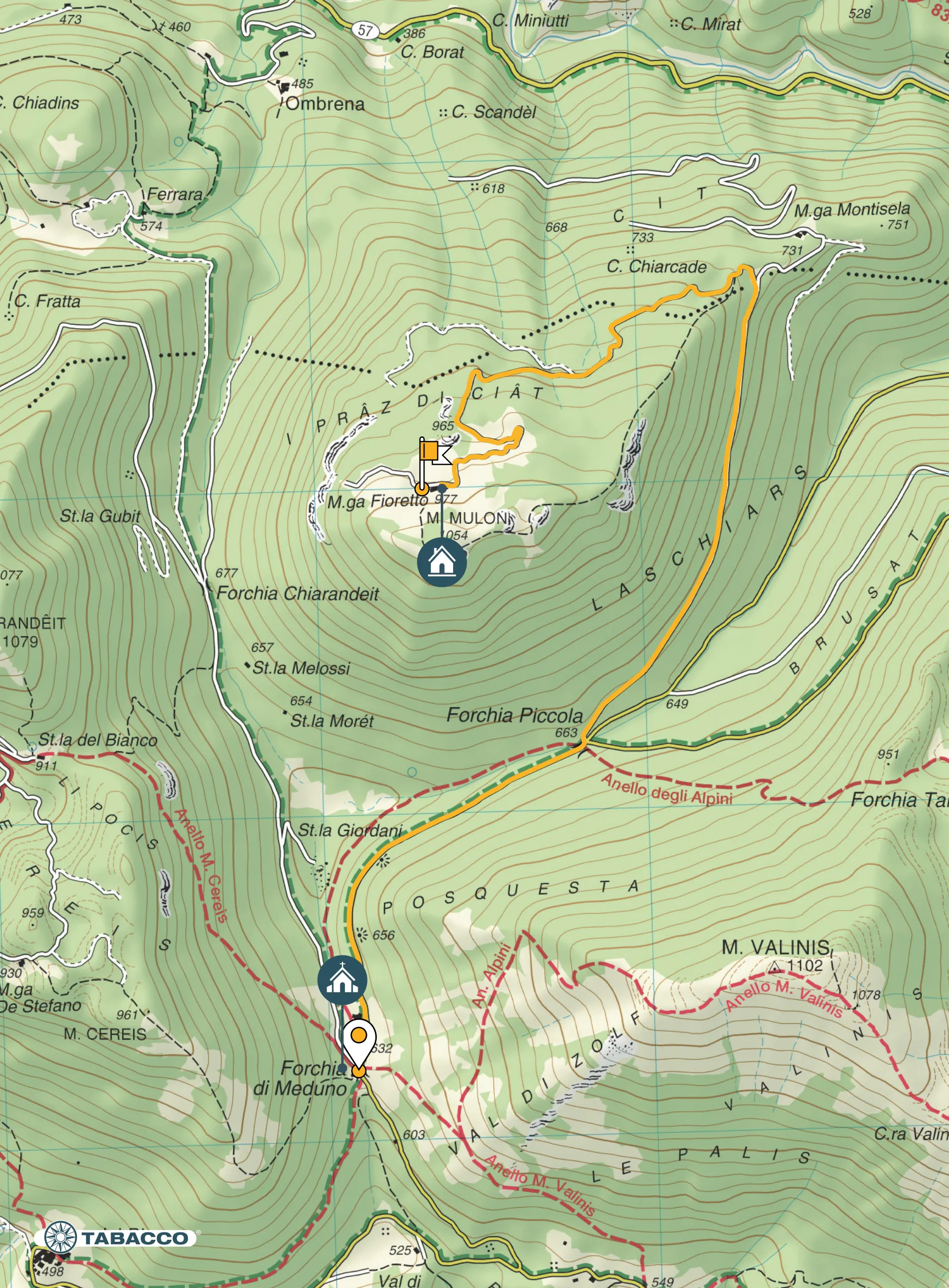
Itinerary
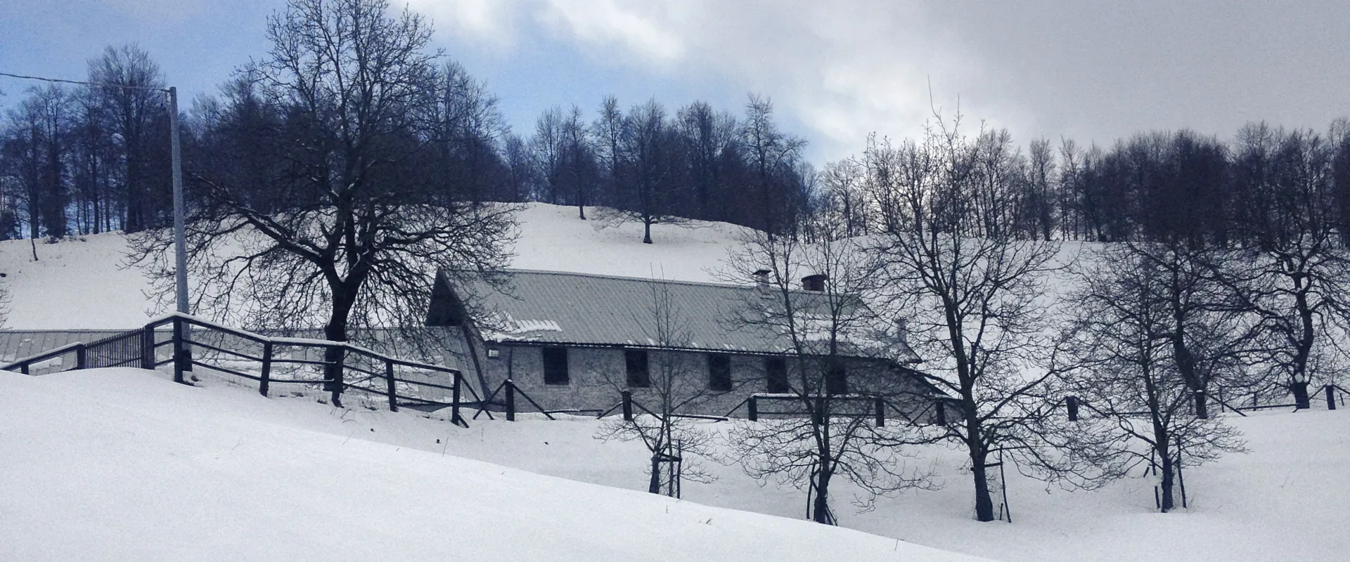
From the mountain shelter Rifugio Julia (634 m asl) continue along the tarmac road to Campone, alternatively you can take the valley floor path (see previous trail Alpini Circular Trail). When you reach the Forchia Piccola crossroads (663 m asl), take the forest track to the left that goes up the Laschiars slope and continue following it to a fork. On the right, the track leads to Casera Muntisela, continue left instead, always uphill, entering dense beech woods until you reach the pastures of the beautiful hut Malga Fioretto-Siega, built in the period between the two World Wars. From here, climb along the short trails to the isolated and little-visited summit of Mount Mulon.
Technical details
Distance there and back: 9,6 km
Drop: 485 m
Stops
Malga Muntisela /
Malga Fioretto /
Accessibility
Hiking, running, mountain bike

Map