Itinerary
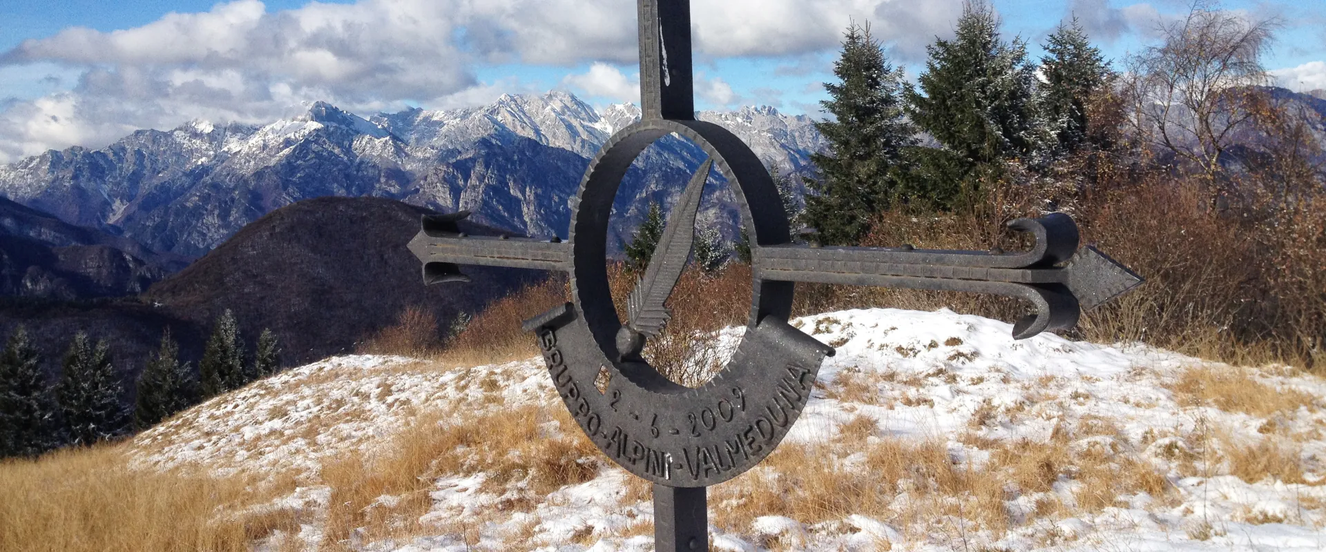
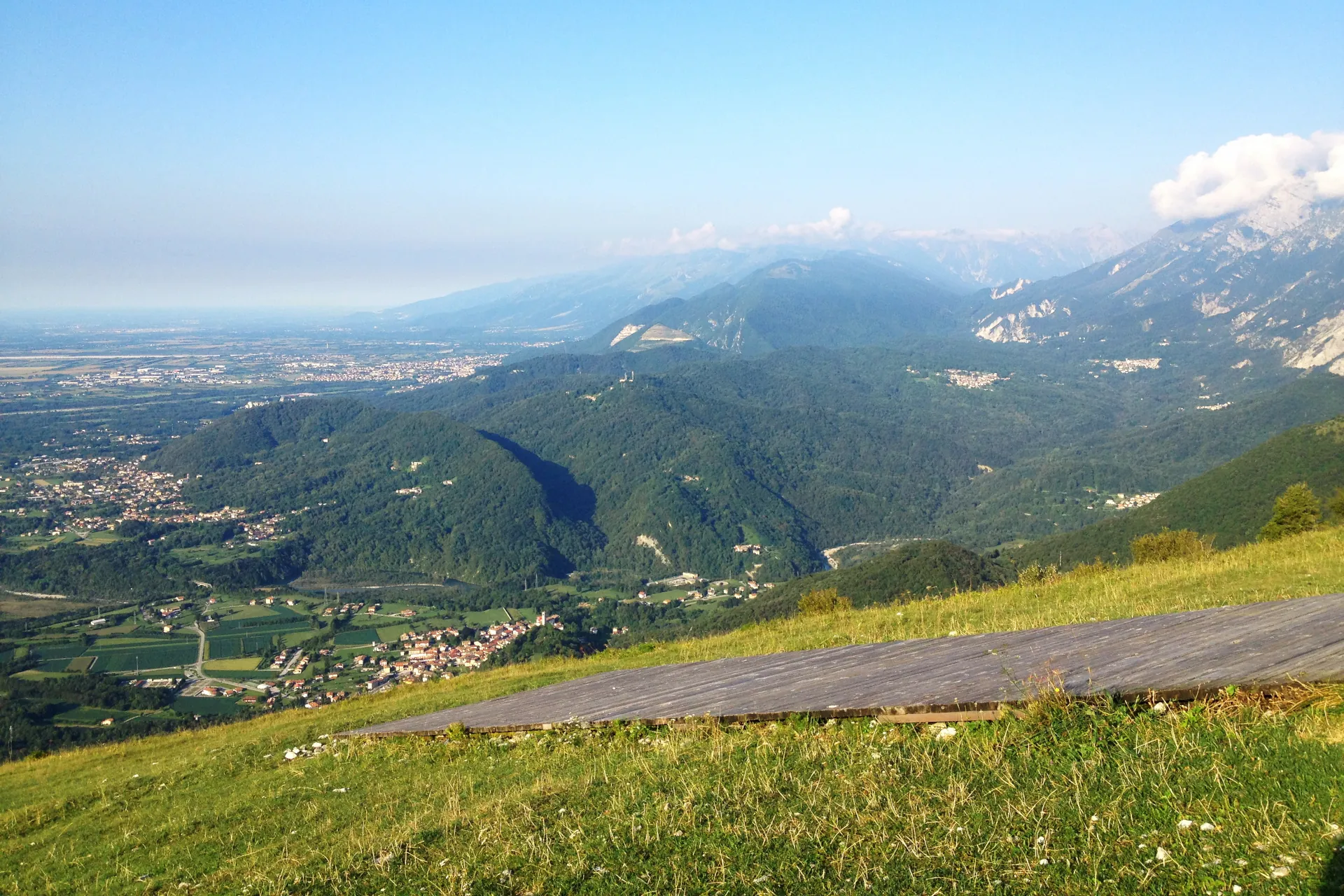
From Forchia di Meduno, leave the mountain shelter Rifugio Brigata Alpina Julia (634 m asl) on the right and take the mountain path n. 3, which continues along the valley floor through a hazel forest. Leaving the mountain hut Casera Giordani on the left, this path leads to the Forchia Piccola (663 m asl) and, after crossing the road to Campone, climbs up to the Forchia Tamar. Reaching readily the municipal road leading to the hut Malga Valinis, after a short stretch on tarmac, you arrive at the paragliding launching area from where the 8th Alpini path begins, which continues along the ridge and leads to the cross of the Alpini on the summit of Mount Valinis (1103 m asl). The path then descends along the Valley Val di Zolf. At an altitude of 700 m there is a fork, take the path to the right and return to the starting point.
Technical details
Distance: 7,4 km
Drop: 540 m
Uphill / downhill; never a real climb.
Stops
Mount Valinis /
Malga Valinis /
Forchia Tamar /
Val di Zolf /
Accessibility
Hiking, running

Map